Geocoding - How it works
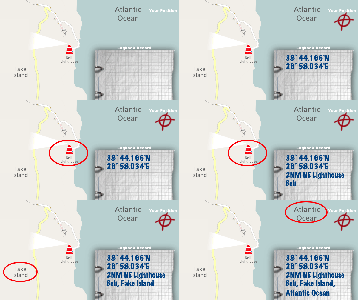
Geoencoding determine the associated location name, according to your position.
The example shows following situation:
- You are 2 nautical miles away from Beli Lighthouse
- Arnold Island is the closest island to your position.
- You are on the Atlantic Ocean.
Logbook App add the most relevant name about your location to your record. To use this feature, make sure that you have a working internet connetion on your phone. Otherwise Logbook App can't determine the name resolution.
Geoencoding - Coverage

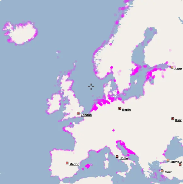
Europe
Each colored dot, means one nautical point, as more colorful the area is, as more is the are prepared for geocoding.
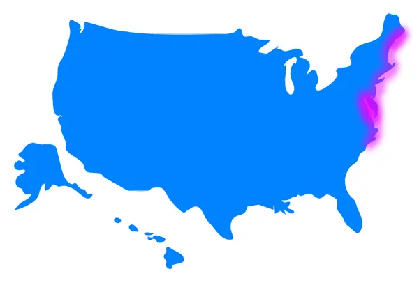
US Eastcoast
The East Coast is fully covered in the states Maine, New Hampshire, Massachusetts, Connecticut, New York, New Jersy, Pennsylvania, Virginia and North Carolina.This includes of course America's Sailing Capital Annapolis and the whole Chesapeake Bay.
