Geocoding — your position in plain language
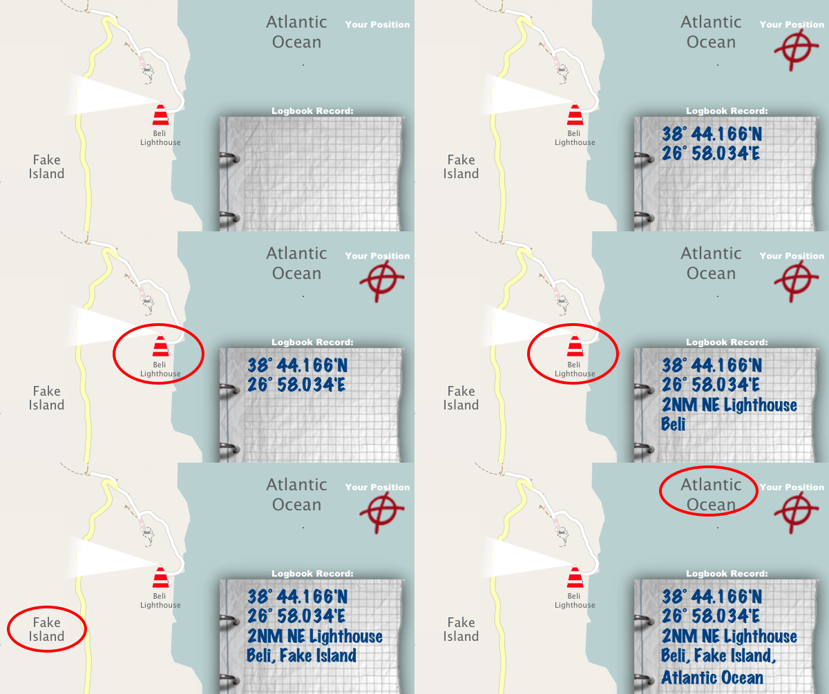
GPS positions are exact, but nobody remembers 43° 30.205'N and 16° 11.380'E. Geocoding additionally writes down where you were in words — just as you would describe it to another skipper.
How it works, with an example
Geocoding looks for the nearest nautically relevant name for your current GPS position. Your location is resolved not only to a place name, but also to nautical objects such as lighthouses, harbours, marinas, buoys, ferry terminals and bays.
The example shows this situation: you are 2 nautical miles north-west of Beli lighthouse, Arnold Island is the nearest island and you are on the Atlantic.
The Logbook app adds the most relevant name for your position to the entry. The WGS84 coordinates are of course kept. The phone needs an internet connection for this lookup — otherwise you can catch up on it later for all entries.
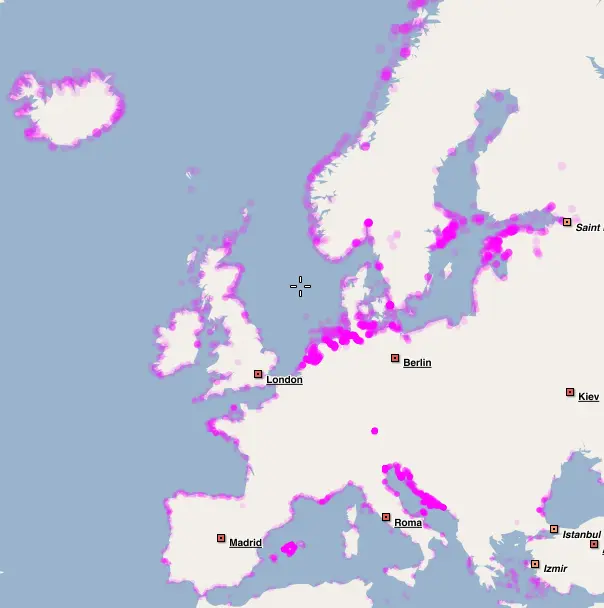
Coverage
Geocoding needs an active internet connection and may not be available for every region. So check in advance whether your sailing area is covered.
If a lookup is ever wrong, you can correct it and report the error straight from the app — the data is updated regularly.
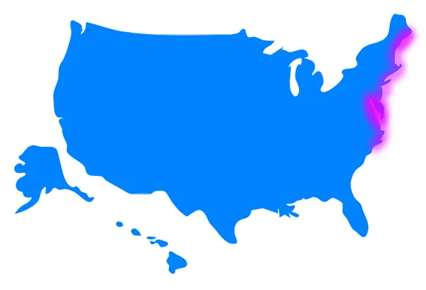
US East Coast
The East Coast is fully covered: Maine, New Hampshire, Massachusetts, Connecticut, New York, New Jersey, Pennsylvania, Virginia and North Carolina — including the sailing hub of Annapolis and all of Chesapeake Bay.
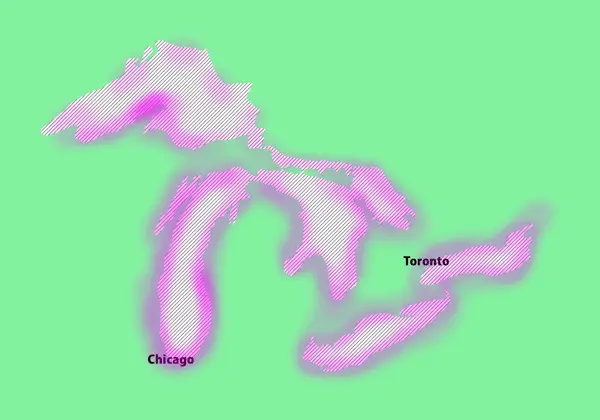
Great Lakes
Lake Erie, Lake Huron (including Georgian Bay), Lake Michigan (including Green Bay) and Lake Ontario are fully covered on both the US and the Canadian side. Lake Superior is covered mostly on the US side.