
Automatic entries
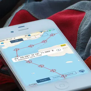
Unique tracking, your personal chart plotter
Recording runs automatically in the background — even when the app is closed. You decide how often a waypoint is set.
A wealth of functions, all in one app — proven at sea and carefully designed.

The data from your own sensors
Wind, depth, speed through the water and position straight from the boat electronics — automatically in every log entry.
Learn moreUnique tracking, your personal chart plotter
Recording runs automatically in the background — even when the app is closed. You decide how often a waypoint is set.

Decoding WGS84 coordinates? No need.
Instead of 43° 30.205'N your log reads: 0.2 nm NW of Celice lighthouse, Dalmatian coast — human readable and still exact.
Learn more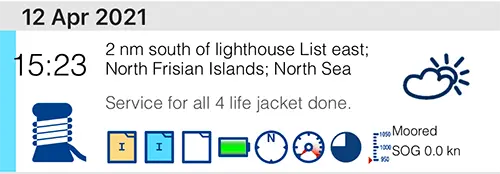
Keep due dates on board in view
Liferaft, flares, oil change, sacrificial anodes: give entries a due date and find them again sorted by deadline.
Learn more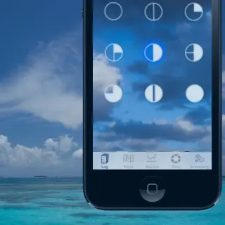
Weather changes, we write it down for you
For every entry the app collects weather, air pressure, wind, cloud cover, temperatures, precipitation and wave height for your position.
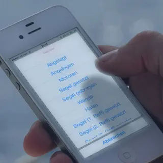
Recurring manoeuvres with one tap
Cast off, sails set, tack, gybe, first reef, anchor weighed — prepared as quick entries and freely customisable.
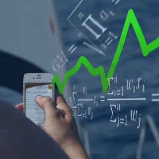
How many nautical miles, how much under engine?
Trip and daily statistics with time, distance, average speed, engine and sailing hours as well as time moored.
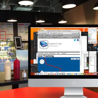
The people at home can see where you are
A randomly generated link shows family and friends your track for a limited time — only if you want it.
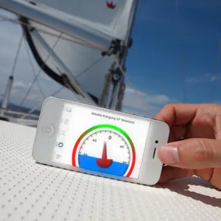
Tools for everyday life on board
Packing list, currency converter with ECB rates, safety briefing as a checklist, heel meter and a lighthouse quiz.
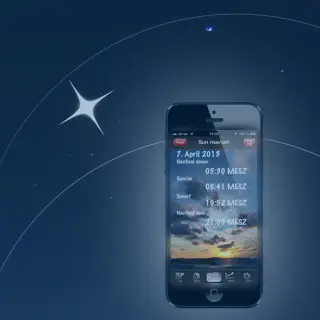
Sunrise and sunset
Nautical twilight, sunrise and sunset for your position — the calculation works offline.
It is your trip, it is your data
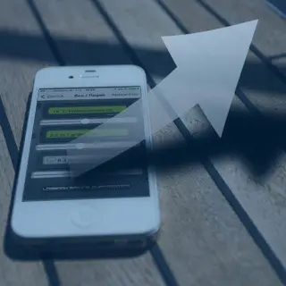
Export as PDF, CSV, GPX, KML and the complete SQLite database — including extra fields such as boat name, crew and flag. How the database is structured is documented on GitHub.
Database schema on GitHub
What is coming on board next
The Logbook app roadmap is shaped by user surveys. See which features are currently being planned.
Learn more